The Spring Creek Water Resource Monitoring Project (WRMP) was initiated in 1997 by the Spring Creek Watershed Association and housed at ClearWater Conservancy until 2019. Its goal is to gather baseline information about the quantity and quality of the water resources in the Spring Creek (PA) Watershed that can be used for the long-term protection of these resources as demands on them increase over time. The project has 15 surface water monitoring stations, 3 groundwater monitoring stations, and 8 spring monitoring stations. Over the years, the WRMP has provided a description of the quantity and quality of the surface waters of Spring Creek and its tributaries, provided a description of the quality of storm-water runoff throughout the watershed and monitored ground-water levels in critical areas.
Monitoring Overview
Stream Discharge
The WRMP operates twelve stream monitoring stations with one site on the main stem of Spring Creek and twelve tributary sites located throughout the stream’s five major sub-basins. The sites are representative of land use practices across the watershed. There are also three USGS-operated stream gages on the main stem of Spring Creek. The stations are equipped with instruments that continuously monitor water level, or stage, of the stream. Stream stage is digitally recorded every 30 minutes for all gaging stations except Lower Thompson Run and two stations on Walnut Run, where stream stage is recorded every 5 minutes due to rapid fluctuations in stage level during storm events. Rating curves are developed and maintained at each of these sites to convert stream stage into discharge rates. (2019 Discharge Data)
water Temperature
Water temperature is measured hourly at 18 stream stations and 8 spring stations using submersible data loggers. Eleven of these stream temperature monitoring stations are co-located with WRMP gaging stations and three are co-located with existing USGS gaging stations on Spring Creek. At the Thompson Run station and Middle Walnut Springs station, the temperature data logger is set to record every 5 minutes instead of every hour. Readings are taken more frequently at these stations because, as with flow, past data have shown that temperatures fluctuate rapidly during storm events. (2019 Temperature Data)
Groundwater Elevation
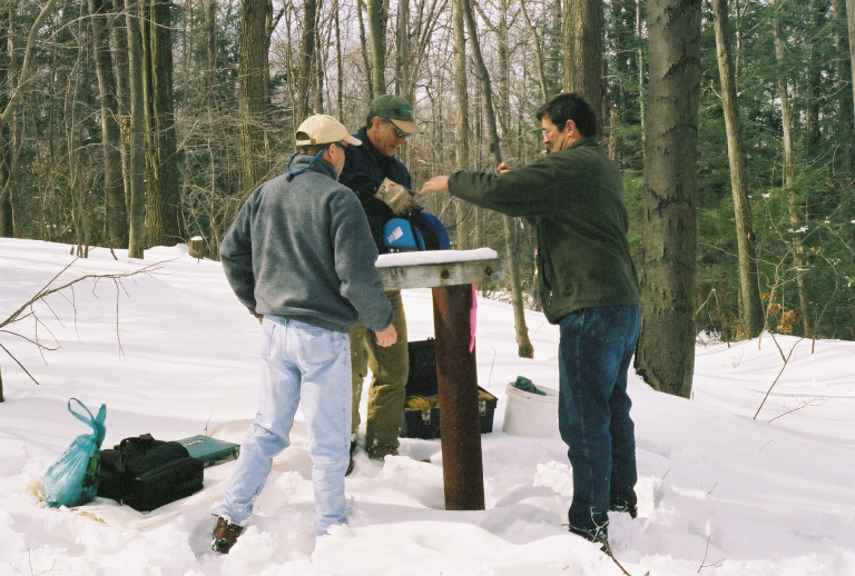
At the three wells comprising the groundwater monitoring network, water surface elevation is recorded every 3 hours with digitally-recording pressure transducers.
Water Quality
WRMP staff and volunteers collect water samples from fifteen stream sites and eight springs on a quarterly basis (spring, summer, fall and winter) during baseflow conditions. The water samples are analyzed for chemical and nutrient content by the Pennsylvania Department of Environmental Protection Analytical Laboratories. Coliform analysis is conducted for spring samples by the University Area Joint Authority laboratory. (2019 Water Quality Data)


reports

Project Supporters
The Spring Creek Water Resources Monitoring Project is entirely supported by local municipalities and organizations. Below is a list of our current project supporters.
Data Requests
All WRMP data is publicly available. If you would like to request data, please fill out the following form.